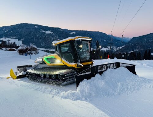
SI World 2/2022, Snowmaking & Slope Maintenance
Independent adaption of geospatial data
Whether for slope grooming, snowmaking or operational organisation: the Geographical Information System of a ski area contains all the spatial data relevant to daily work, such as terrain profiles, slope surfaces and edges, anchor points for snow groomers, positions of snow cannons, and areas to be covered with machine-made snow, as well as hazard areas, roads, buildings, footpaths, bike trails and much more.
These GIS data serve as the basis for all processes on the mountain, such as construction activities, the creation of snowmaking and grooming plans, and evaluation.
In the past, an external surveying company had to be commissioned to manage these data; now, ski resorts can update their own geospatial data for themselves, easily and in real time.
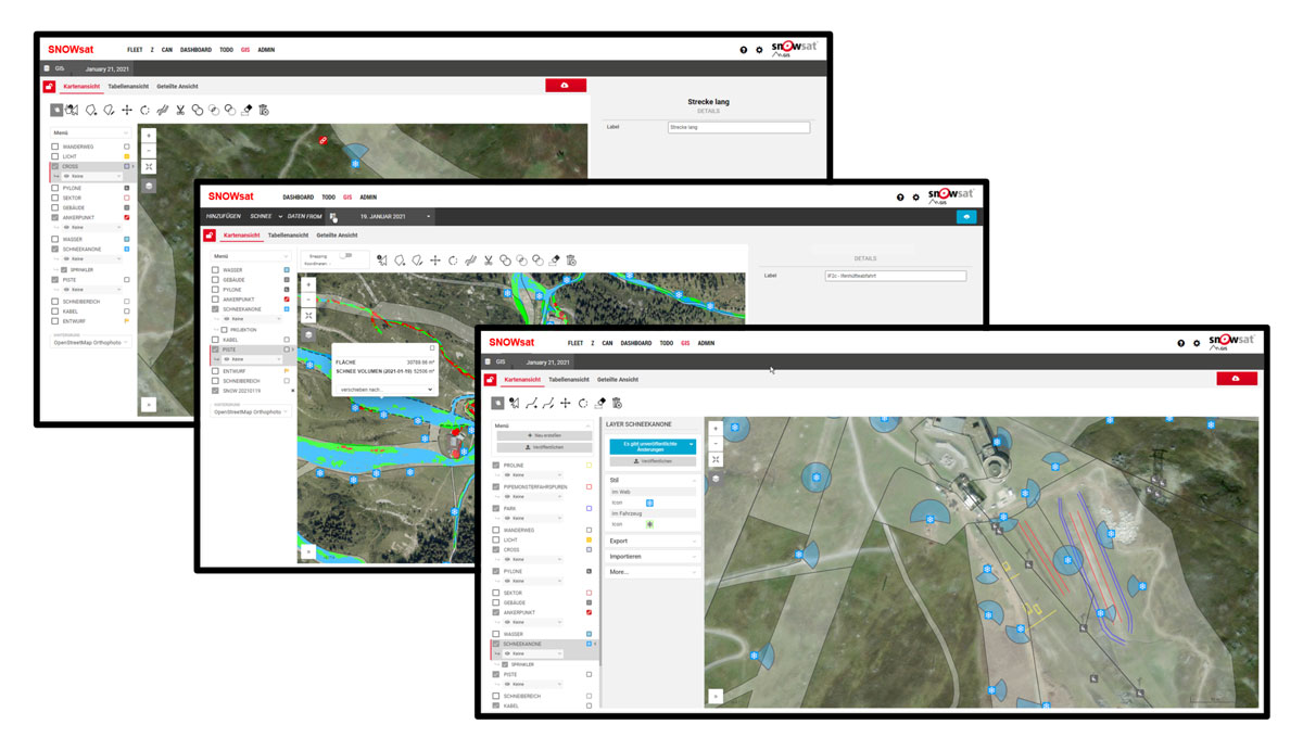
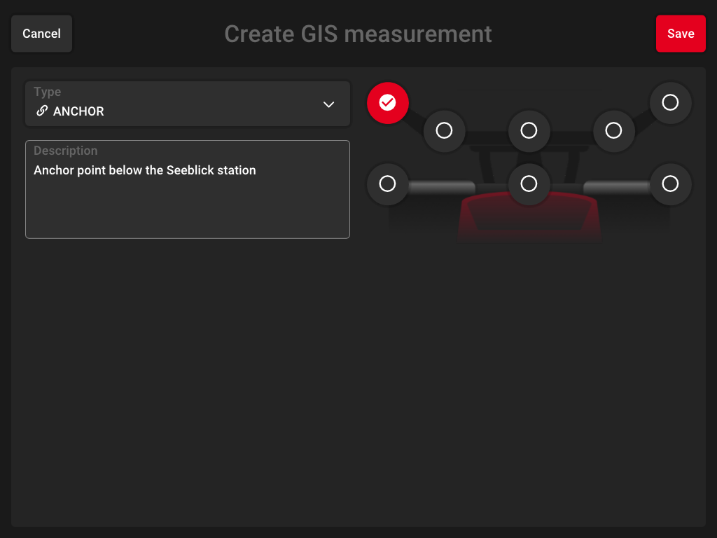
Everything at a glance:
The GIS Data Manager indicates the current
snow conditions in the ski area. Slope edges can be adjusted by drag-and-drop.
Data instead of gut instinct
With SNOWsat GIS, data points can be added manually, recorded by the snow groomer or a mobile device (e.g. surveying stick) and imported. This allows customers to update slope surfaces and sectors independently, so that snow volumes and vehicle uses can be planned, evaluated and optimised in the best possible way.
For example, vehicles equipped with SNOWsat are capable of recording anchor points or positions of snow guns, and they can follow slope edges. Using the software, the user can then adapt the existing slope edges to the recorded driving paths.
Consequently, a current map of the ski area is always available both in the office and in all snow groomers, so that everyone has the same level of knowledge.
Comfortable
New data points are recorded directly by the vehicle system
and automatically integrated into the GIS.
Increased safety
GIS Manager can be used to mark not only positions of snow guns, areas to be covered with machine-made snow, anchor points for snow groomers and slope edges, but also hazard areas such as avalanche towers, explosive tubes and avalanche-prone slopes in the ski area. In poor visibility conditions, it is good to know where anchor points and snow cannons are located and where a slope ends. In addition, auxiliary lines or landmarks can be set. This is vital information for slope first aid teams and operators.
Reproduce event settings easily
For sporting events, there is a lot that has to be taken into account off the slope. Where does the power cable run? Where is the video screen positioned? With SNOWsat GIS, users can mark and save important points, so that the setting can be very easily recalled for forthcoming events.
This substantially reduces the planning effort required.
Cost savings
The uniform level of knowledge across the board, means that everyone can take actions required. This saves both time and resources, which also saves money.
Advantages of the SNOWsat GIS Data Manager
- Easy, central management of all geospatial data
- Always current and available to everyone
- Independent adaptation of data to current conditions, with no external surveying company
- Improved decision-making reliabi-lity for people in charge and for the work of operators
- Fast reproducibility of event settings and attractions
- Improved efficiency through a uni-form level of knowledge across the board
- Reduced resource consumption and operating costs
- Data pool for evaluations